
Canouan Airport
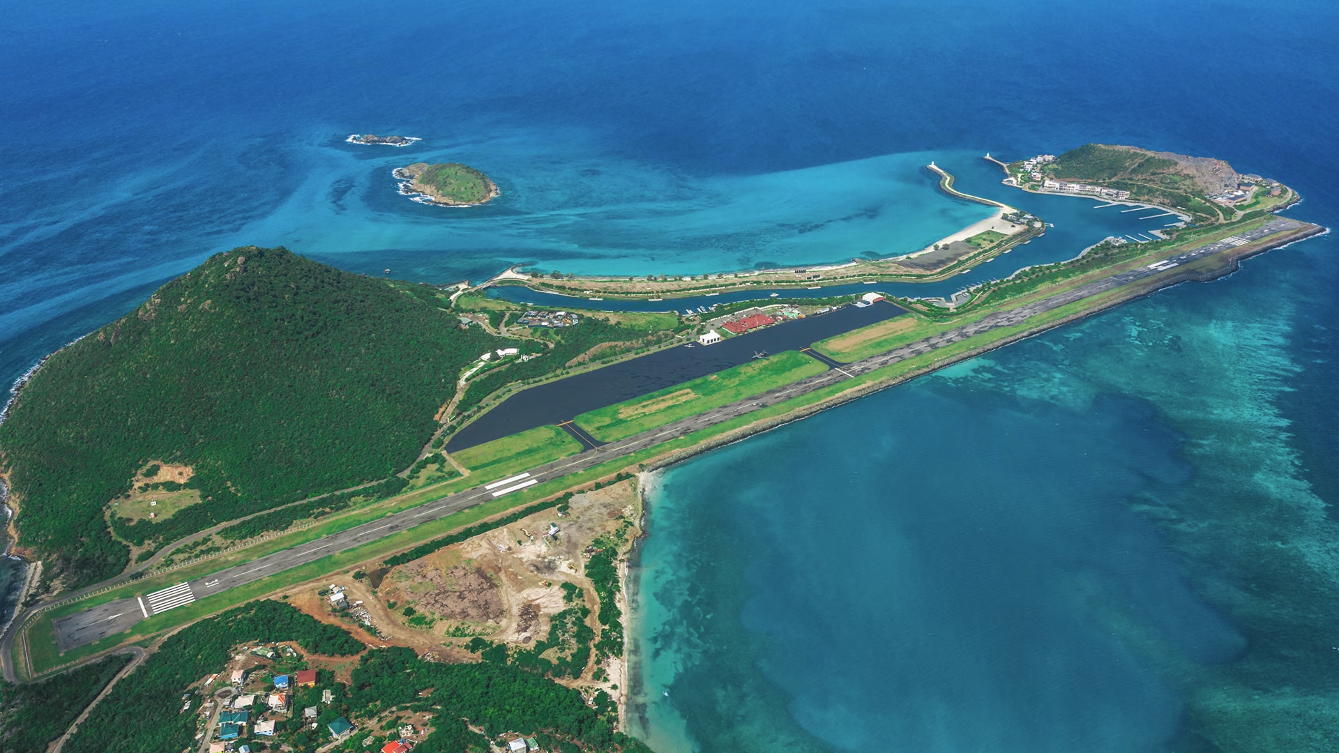
Midway down the chain
Canouan is reached from Argyle on the mainland by the short-haul aircraft that work the island chain.
From Argyle
55 km 30 nm
Runways across the network
St. Vincent SVD
2,743m 9,000 ft
Canouan CIW
1,791m 5,880 ft
Bequia BQU
1,100m 3,610 ft
Union Island UNI
752m 2,470 ft
The runway that opened the island
A land-reclamation and extension project finished at the end of March 2008, lengthening the field by more than seventy per cent. Before it, the largest aircraft to serve Canouan was a turboprop ATR 72. After it, the island could take an Airbus A320 or Boeing 737 carrying well over a hundred passengers direct from a regional hub.
Runway 13 / 31
+738 m · reclaimed 2008
1,791m 5,880 ft
What changed in 2008
Runway
Extended onto reclaimed land, from 1,053 m to 1,791 m.
Control tower
Raised by roughly 3 m to clear the longer field.
Arrivals terminal
Extended to take the larger arriving aircraft.
Apron and navaids
Apron expansion and navigation systems completed by 2011.
Aerodrome data
| Item | Value |
|---|---|
| IATA / ICAO | CIW / TVSC |
| Runway | 13 / 31 · asphalt |
| Runway length | 1,791 m — 5,875 ft |
| Elevation | 3.4 m — 11 ft |
| Coordinates | 12°41′57″N 61°20′33″W |
| Reopened | May 2008, after modernisation |
| Largest aircraft | Airbus A320 · Boeing 737 |
| Operators | SVG Air · Mustique Airways · Grenadine Airways |